Studio Coordinator: Danielle Choi, Instructor Francesca Benedetto
October 29 - December 6, 2018; Duration: 6 Weeks
Plan
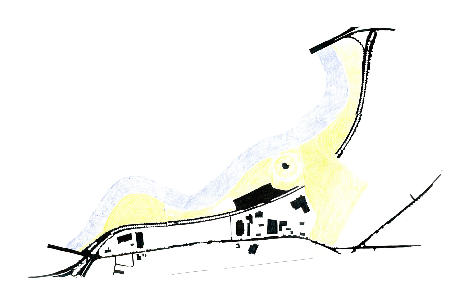
My design introduces three additions to Christian Herter Park, which extends along the Allston portion of the Charles riverbank, at three distinct scales. The new in- frastructure takes cues from existing elements of the site to maintain its existing character while increasing visibility and accessibility of the site from Allston as well as opportunities for diverse recreational activities.
Physically, my proposal encourages flexible use of the park and aids circulation of both human and non-human beings. Symbolically, it simultaneously introduces urban infrastructure into the park and the park into Allston.
Plan with physical models indicated
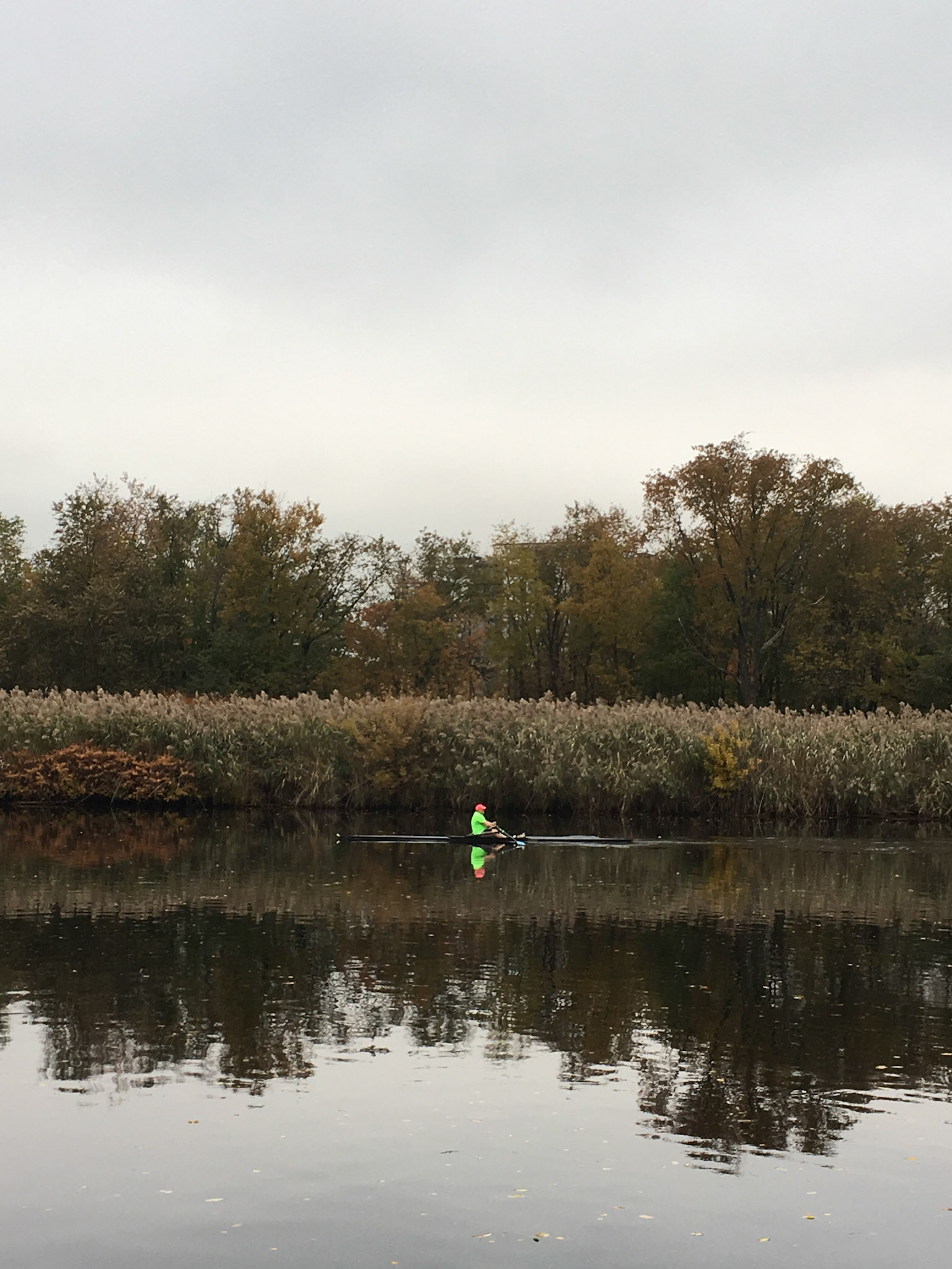
A: The smallest scale addition is an inner tube rental facility. This structure, which consists of a building and curved dock, is located on an existing disused platform adjacent to a drainage outlet (Site Photo 1). Facilitating tubing introduces a new recreational use of the Charles River in sharp contrast to the predominant rowing (2). Tubing is a leisure and social activity that allows people to take advantage of the river throughout the summer while minimizing their exposure to toxic mud beneath the river’s otherwise clean water.
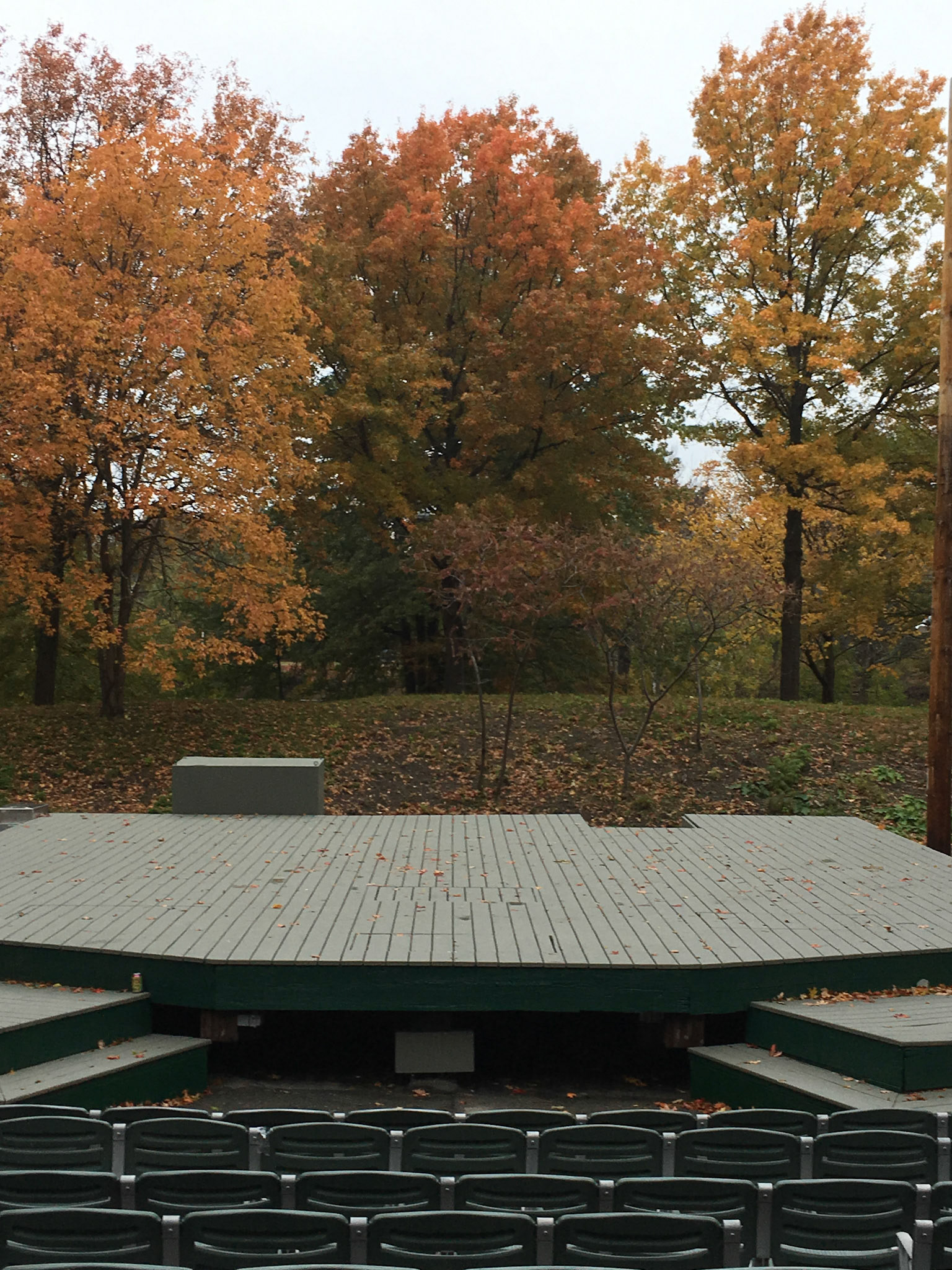
B: The second intervention is to pave the surface of an existing canal (3) to reduce exposure to polluted soil and to transform an unused body of water into a shallow wading area. This unusual part of the park was developed in the late 1950s as the Metropolitan Boston Arts Center but failed after only three seasons due to scarcity of visitors. While considerably altered, an outdoor stage remains on an island in the center of the canal (4). It is my hope that through activation of this portion of the park, local residents will use this stage for impromptu concerts and events.
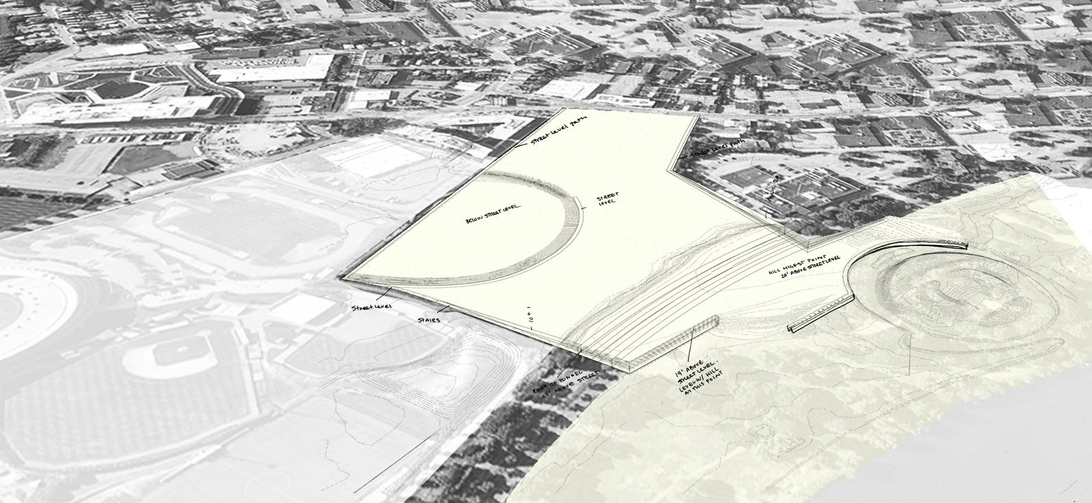
C: The nearly immediate failure of the Metropolitan Boston Arts Center highlights the incredible inaccessibili- ty of Herter Park. I aim to redress this inaccessibility through the final and largest addition: the creation of a land bridge that connects the site to Smith Field, a existing public park located just across Soldiers Field Road.
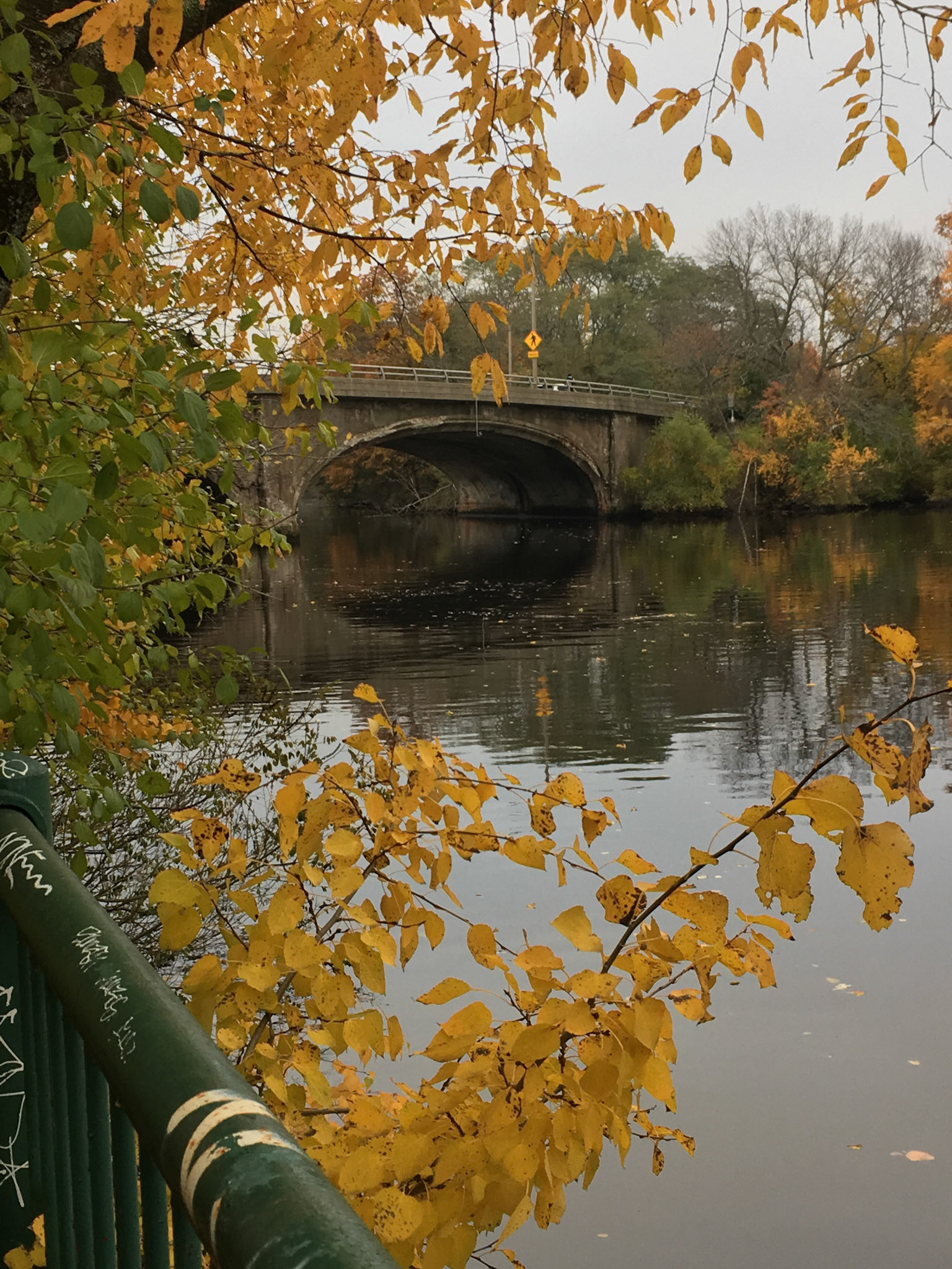
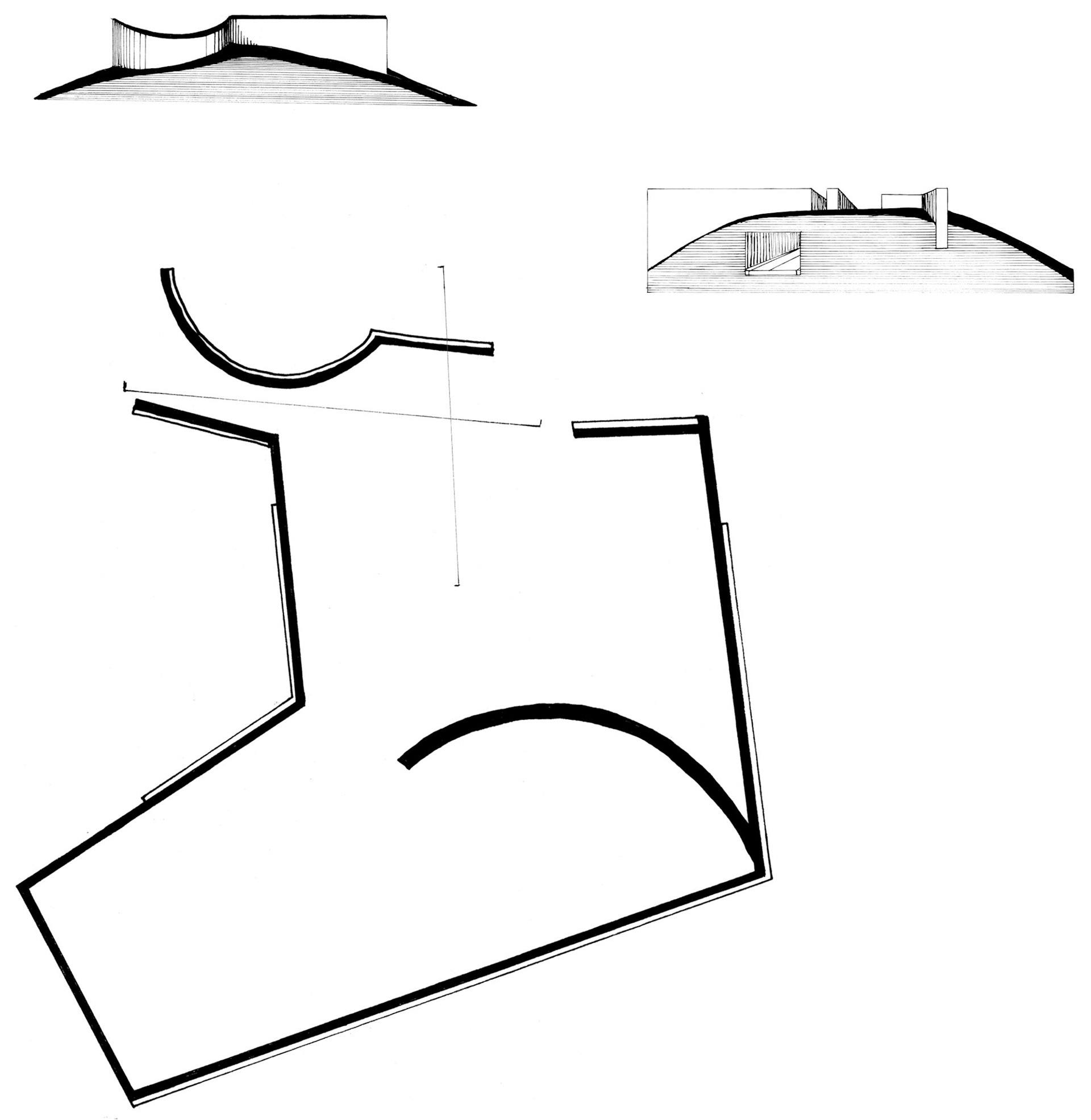
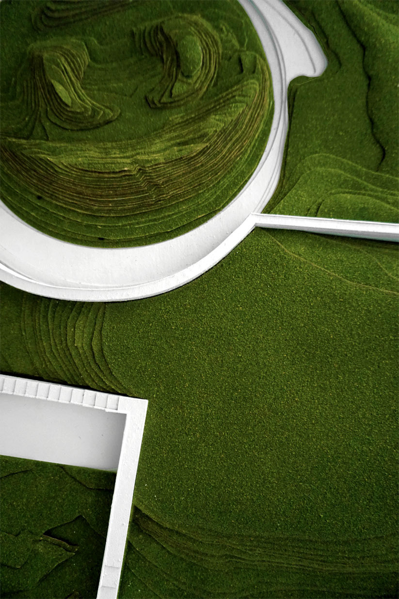
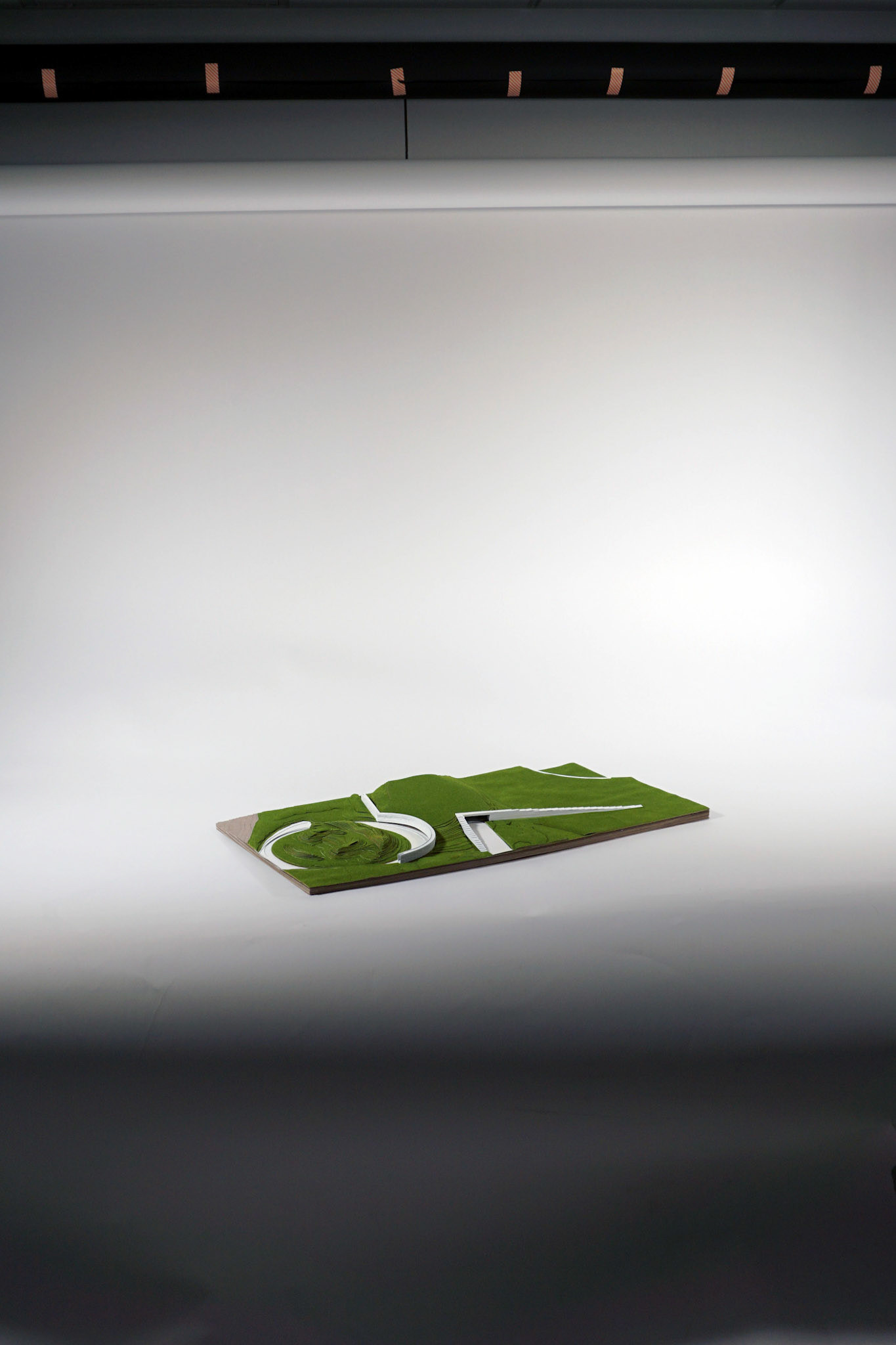
The bridge design consists of an artificial hill framed by a series of ramps, walls, stairs and surface level paths. The creation of the hill recalls Boston’s long history of leveling hills for development projects, such as the Back Bay neighborhood, and the gesture is highlighted by the visibility of the extraction site which would become a sunken amphitheater. The walls, which vary in height, recall the aesthetic of an existing wall that surrounds the west end of the site (5) and the mode of connection via bridge reflects the condition of our site boundary being defined by bridges at either end (6).
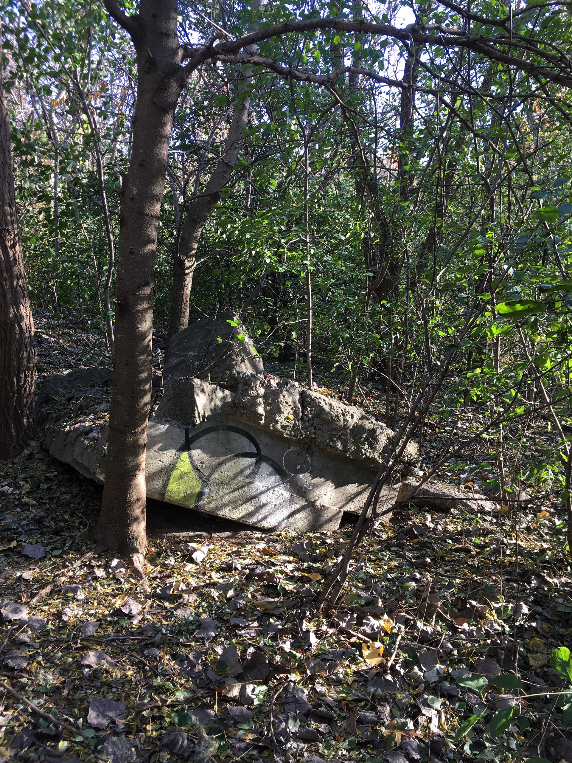
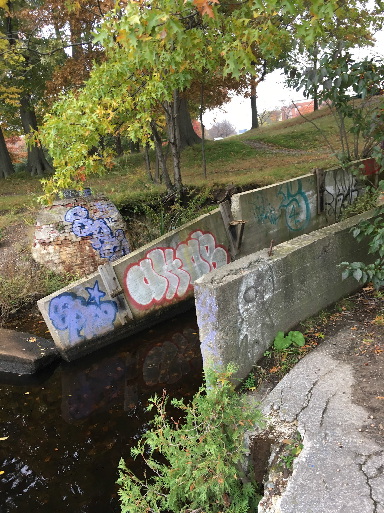
The primary material used throughout the design is concrete because it reflects existing features and the character of a narrow but relatively wild urban park bounded on three sides by automobile infrastructure. Currently concrete ruins are present throughout the wooded portion of the site (7) and the canal and bridge would additionally take stylistic cues from drainage ditches such as the one adjacent to the tube rental (8).
Site Documentation (existing condition)

1
2

3
4

5
6
7
8
Sections: Facing East, Facing West
Process Sketch
Process Sketch
Process Sketch
Site Models:
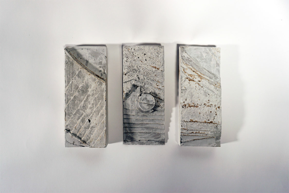
Focus Site Models, Cast Concrete
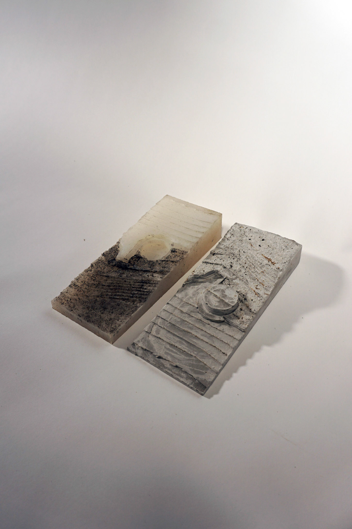
Concrete Model With Mold
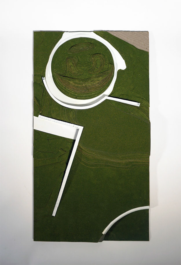
Topographic Contour Model
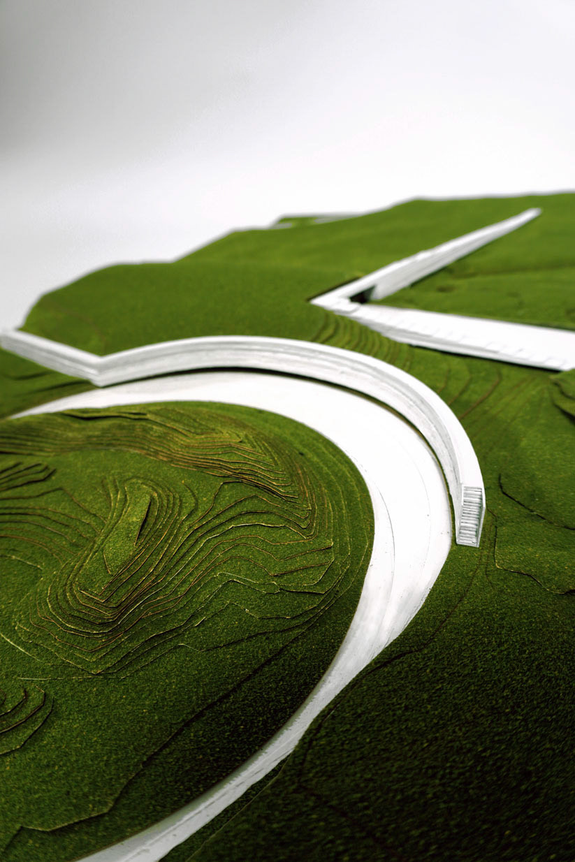
Contour Model Detail
Contour Model Detail
Topographic Contour Model
Perspective Rendering

